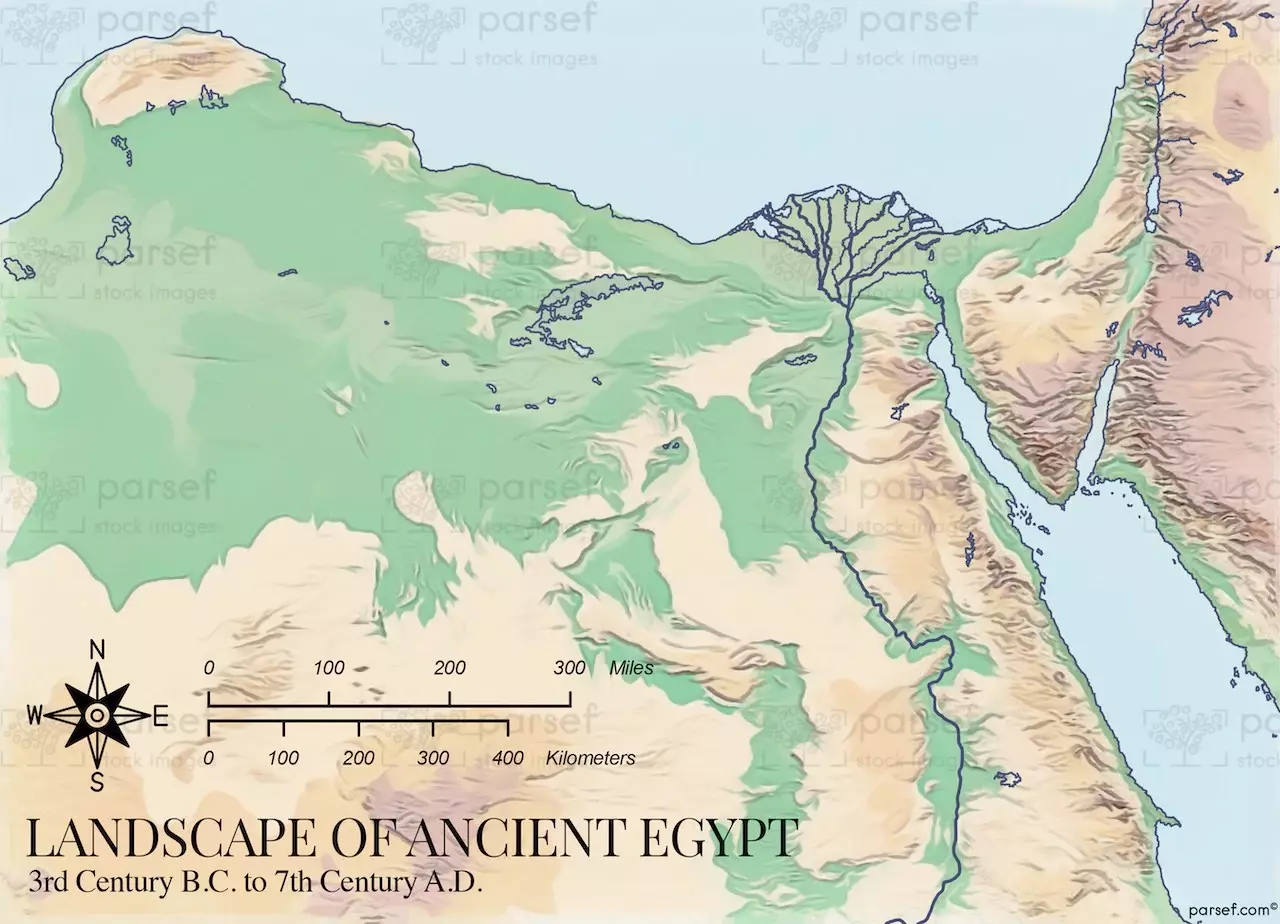
The map Egypt After the Pharaohs - Landscape of Ancient Egypt is a valuable resource for anyone interested in learning more about the geography of ancient Egypt. It shows the different regions of Egypt, including the Nile Valley, the deserts, and the oases. The map also shows the major cities and towns of ancient Egypt, as well as the ancient trade routes.
The map is divided into four main regions:
The Nile Valley: This is the most fertile region of Egypt and was the heartland of ancient Egyptian civilization. The Nile River provided water for irrigation and transportation, and its annual flooding deposited rich silt that made the land very productive.
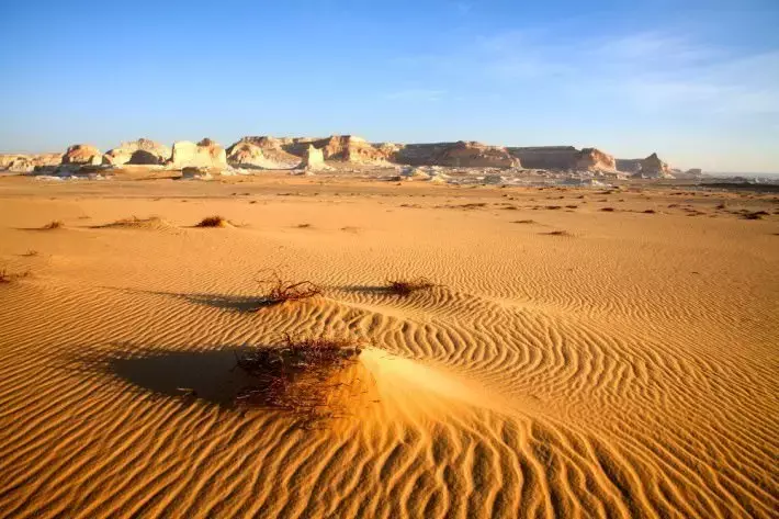
The Western Desert: This is a vast desert region that covers much of western Egypt. It is home to a number of oases, including Siwa Oasis and Bahariya Oasis. The Western Desert was an important source of minerals and other resources for ancient Egypt.
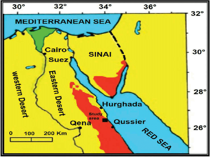
The Eastern Desert: This is a desert region that covers much of eastern Egypt. It is home to a number of mountains, including Mount Sinai. The Eastern Desert was an important source of minerals and other resources for ancient Egypt, and it was also used as a route for trade with other parts of the region.
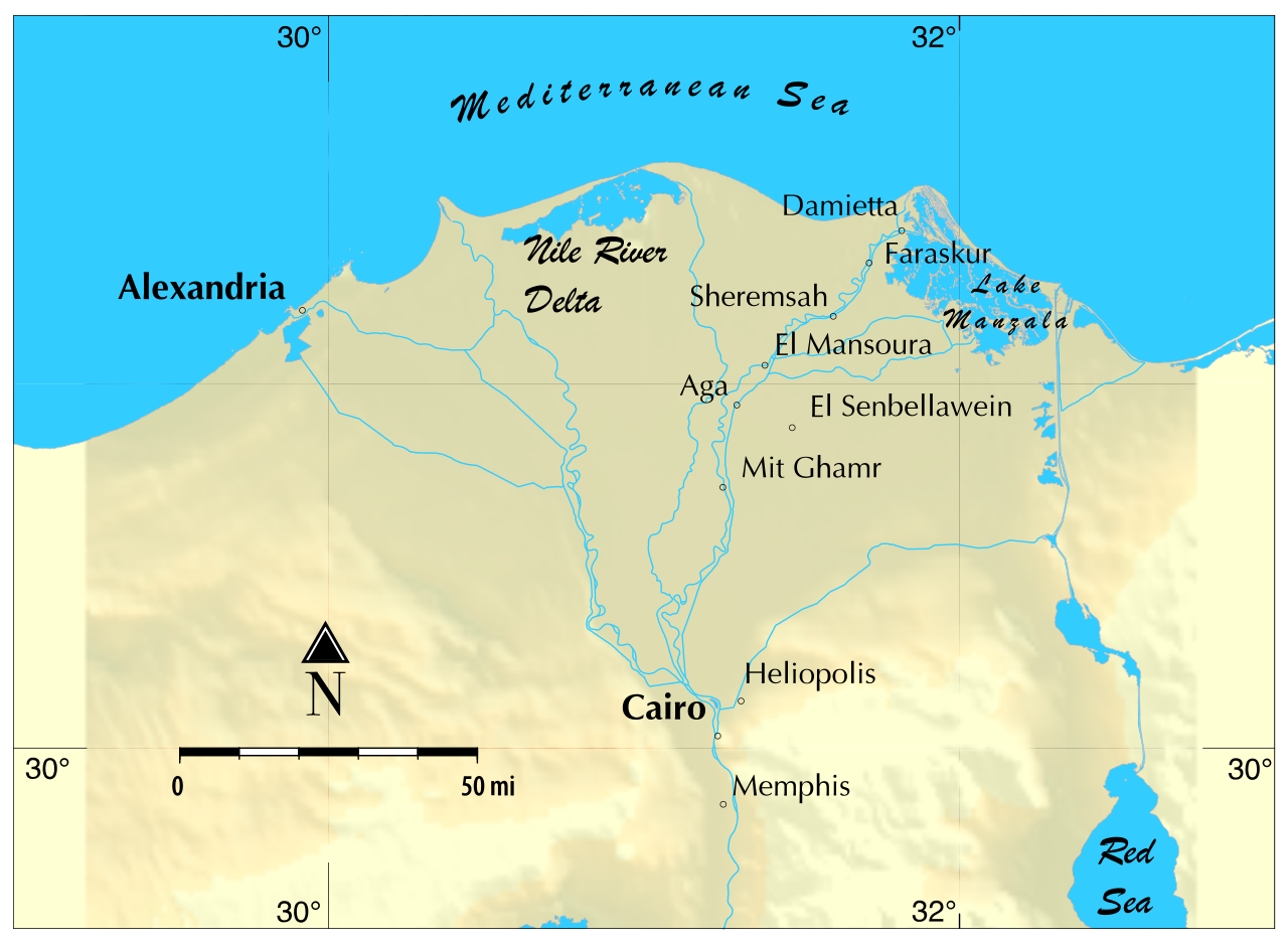
The Delta: This is the area where the Nile River flows into the Mediterranean Sea. It is a fertile region that is home to a number of major cities, including Alexandria and Cairo. The Delta was an important center of trade and commerce for ancient Egypt.
The map also shows the major cities and towns of ancient Egypt, as well as the ancient trade routes. Some of the most important cities of ancient Egypt included Memphis, Thebes, and Alexandria. The major trade routes of ancient Egypt connected Egypt with other parts of the region, including Mesopotamia, Anatolia, and Greece.
The map Egypt After the Pharaohs - Landscape of Ancient Egypt is a valuable resource for anyone interested in learning more about the geography of ancient Egypt. It is a detailed and informative map that provides a wealth of information about this ancient civilization.