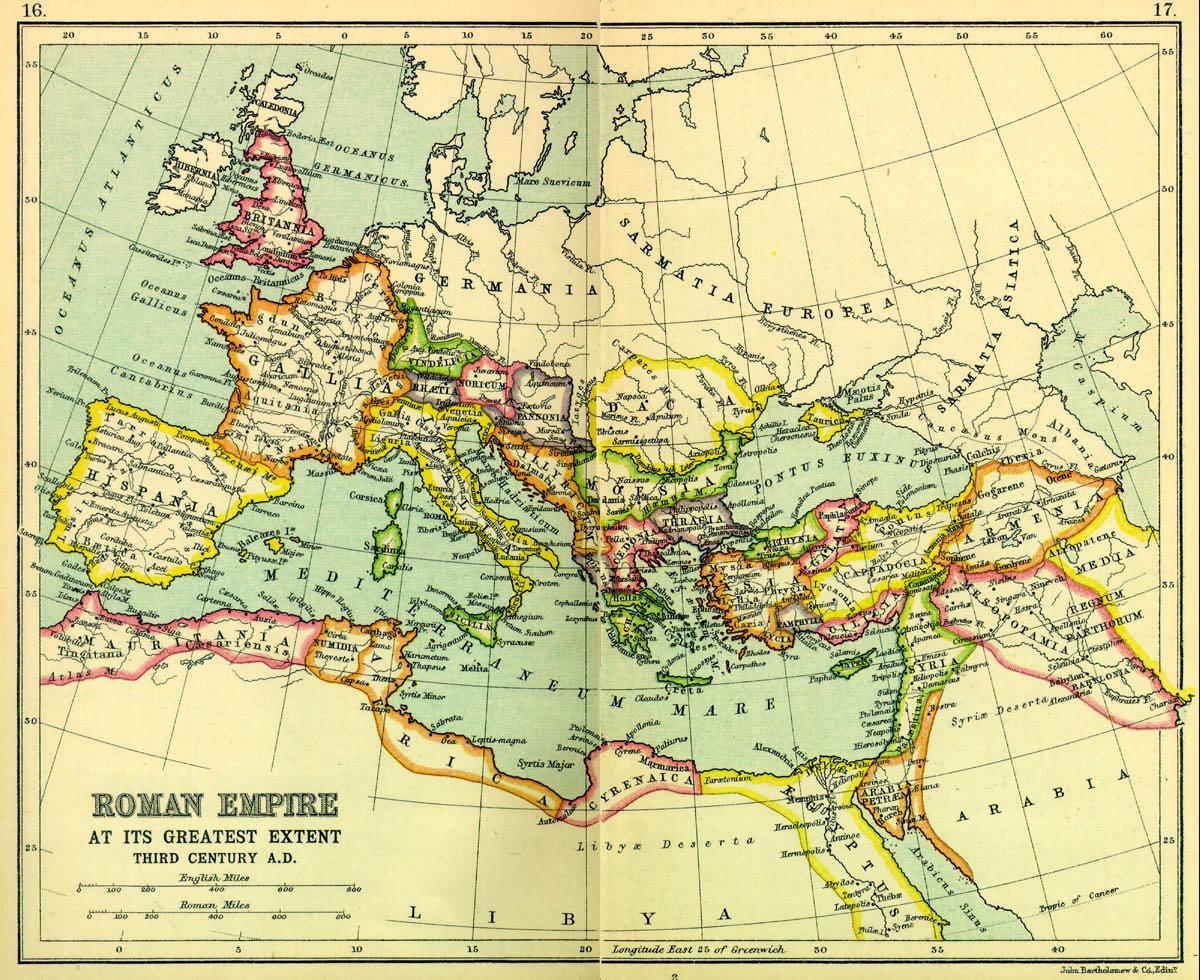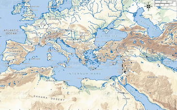
Note: Though this map states that the Roman Empire was at its greatest extent in the third century A.D., Mesopotamia, shown here as part of the empire, was only briefly part of the Roman world during the last years of the reign of Trajan (emperor A.D. 98-117) and was abandoned immediately after his death by Hadrian. The boundary was frequently, almost constantly, in dispute, but the northwestern portion of Mesopotamia on this map was usually in Roman hands.
This map of the Roman Empire was scanned from pages 16 & 17 of a 1925 reprint of the 1907 Atlas of Ancient and Classical Geography in the Everyman Library, published by J.M. Dent & Sons Ltd. and is, by Canadian copyright law, in the public domain, to the best of my knowledge. The original scan was done at 300 dpi in 24 bit colour, resulting in a very large file of uncompressed data and 1.1 MB as a compressed JPEG file.

