



Welcome to our World History section, a vast treasure trove of historical knowledge that takes you on a captivating journey through the annals of human civilization. Our collection spans a wide spectrum of topics, providing an exhaustive resource for history enthusiasts, students, and curious minds
...
Read More
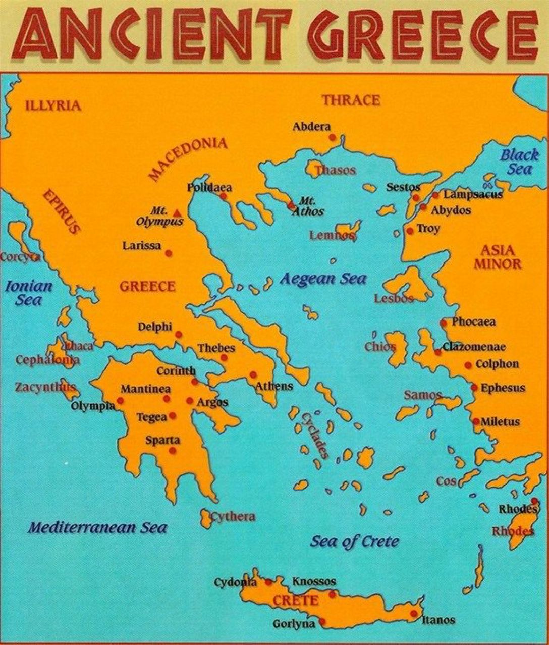
A History of Ancient Greece
The Glory That Was GreeceAuthor: Jewsbury, LewisDate: 1992
Alcibiades (450?-404 BC)
When the philosopher Socrates was tried and convicted in 399 BC for corrupting the young men of Athens, the judges may have had Alcibiades in mind. Intelligent, handsome, and charming, Alc...
Read More
The Greeks were the first to formulate many of the Western world's
fundamental concepts in politics, philosophy, science, and art. How was itthat a relative handful of people could bequeath such a legacy tocivilization? The definitive answer may always elude the historian, but a goodpart of the expl...
Read More
A Vital Legacy
The final complexity in dealing with classical Greece (and then Rome)involves its relationship to us - to contemporary residents of North America.For most Americans, Greece constitutes the first phase of "our own" classicalpast. The framers of the Constitution of the United States wer...
Read More
Operation BarbarossaBattle of the BuldgeFalaise GapMarket GardenMarch to the SeineInvasion of USSRPearl HarborPearl HarborNormandyNormandyNormandy...
Read More
A History of Ancient Greece
The country which is now called Hellas was not regularly settled in ancient times. The people were migratory, and readily left their homes whenever they were overpowered by numbers. There was no commerce, and they could not safely hold intercourse with one another either...
Read More
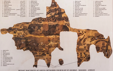
The Madaba Mosaic Map is a large and intricate mosaic floor map that was discovered in the city of Madaba, Jordan. The mosaic was created around the 6th century AD and is considered to be one of the oldest known maps of the Holy Land. The map is made up of over two million small colored stone tesser...
Read More
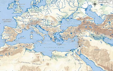
Historical Maps of The WorldHistorical Maps of AfricaHistorical Maps of The AmericasHistorical Maps of AsiaHistorical Maps of Australia and the PacificHistorical Maps of EuropeHistorical Maps of The Middle EastHistorical Maps of Polar Regions and OceansHistorical Maps of Russia and the Former Soviet...
Read More
Modern Israel is a country located in the Middle East, bordered by the Mediterranean Sea to the west, Lebanon to the north, Syria to the northeast, Jordan to the east, and Egypt to the southwest. The modern state of Israel was established in 1948, following the end of British rule and the approval ...
Read More
The Valley of Jezreel is often identified as comprising only the eastern end of the Plain of Esdraelon, the valley between between Mount Gilboa and the Hill of Moreh and Mount Tabor (see Mount Tabor). However, Jezreel is often used generally to refer to the entire flat and fertile plain stretching s...
Read More
(Map is not yet complete)
...
Read More
Byzantium 395
Byzantium at the death of Justinian
Byzantium 1000 AD
Constantinople
Islam at its Height
Ottoman Empire 1450-1700
Ottoman Empire 1450-1700...
Read More
IntroductionIsraelBackground:Following World War II, the British withdrew from their mandate of Palestine, and the UN partitioned the area into Arab and Jewish states, an arrangement rejected by the Arabs. Subsequently, the Israelis defeated the Arabs in a series of wars without ending the deep tens...
Read More
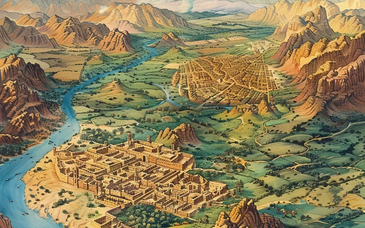
The Bible is a collection of texts that were written over a period of thousands of years and in different parts of the world. As a result, the Bible contains a wide range of geographical references that provide insight into the historical and cultural context of the texts. Understanding the geograph...
Read More
Map of Israel
President: Reuven Rivlin (2014)
Prime Minister: Benjamin Netanyahu (2009)
Land area: 7,849 sq mi (20,329 sq km); total area: 8,019 sq mi (20,770 sq km)
Population (2014 est.): 7,821,850 (growth rate: 1.46%); birth rate: 18.44/1000; infant mortality rate: 3.98/1000; life expectancy: 81....
Read More