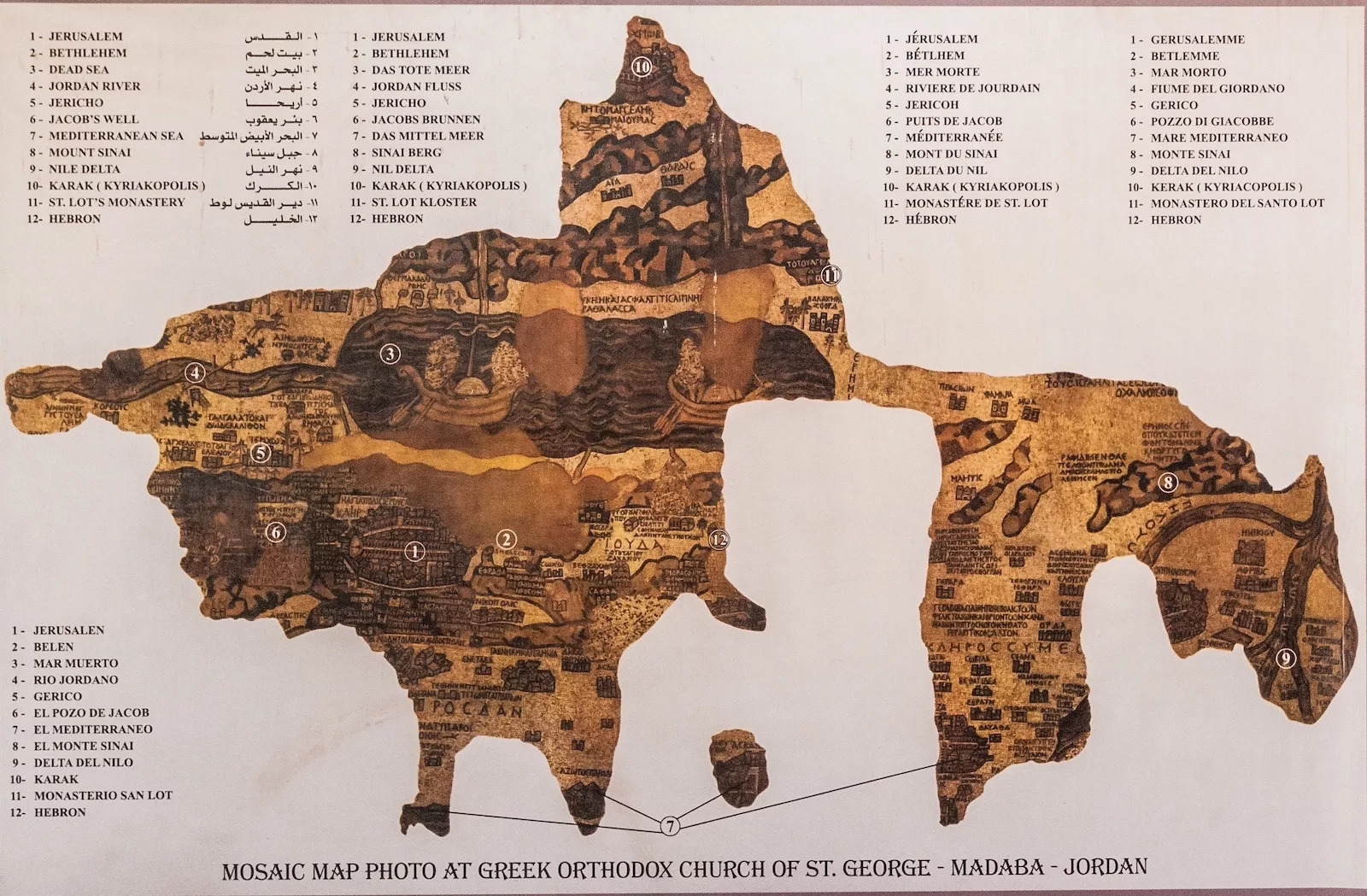
The Madaba Mosaic Map is a large and intricate mosaic floor map that was discovered in the city of Madaba, Jordan. The mosaic was created around the 6th century AD and is considered to be one of the oldest known maps of the Holy Land. The map is made up of over two million small colored stone tesserae and depicts the entire region from Lebanon in the north to the Nile Delta in the south and from the Mediterranean Sea in the west to the Eastern Desert in the east.
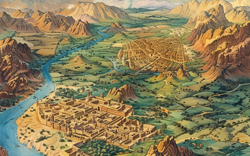
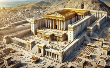
The Madaba Mosaic Map is considered to be an important historical and religious artifact. It is thought to have been created as a floor decoration for a Byzantine church, and it is believed to have been used by Christian pilgrims as a visual guide to the Holy Land. The map is particularly detailed, and it includes a number of biblical sites, such as Jerusalem, Bethlehem, and Jericho. It also includes many other towns, villages, and geographical features, such as rivers, mountains, and deserts.
The Madaba Mosaic Map is also significant for its artistic and technical qualities. The mosaic is made up of small colored stone tesserae, and it is a masterpiece of ancient mosaic art. The mosaic is made up of over two million small colored stone tesserae and the intricate details of the map is created by the skillful placement of these small pieces.
The Madaba Mosaic Map is currently on display at the Madaba Archaeological Park, where it can be viewed by visitors. The mosaic is well-preserved and is open to the public for viewing. It's a popular tourist destination, and it's a must-see for anyone interested in history, art, or religion. The mosaic is also an important symbol of Jordan's rich cultural heritage and serves as a reminder of the country's historical and religious significance.
In conclusion, The Madaba Mosaic Map is an important historical and religious artifact that provides insight into the Holy Land in ancient times. It is a unique and beautiful example of ancient art, and it is a valuable resource for understanding the history of the region. The Madaba Mosaic Map is also an important symbol of Jordan's rich cultural heritage and a must-see for anyone visiting the country.
100 years since its discovery
The Celebrations
* The Madaba Map Centenary
Some background
* Madaba the town in history
* The Map: an important historic document
* The Madaba Archaeological Park
Discovering some of the Map's riches
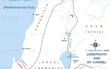
* The Jordan Valley
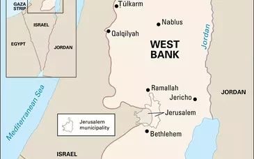
* The Holy City of Jerusalem
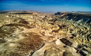
* The Dead Sea
* The Coastal Plain on the Mediterranean
* The Seashore of the Mediterranean
* The mountain of Judah
SPECIAL
* The Madaba Map - interactive study